What's new for summer: Android Auto, 1,800 km of new tracks and more
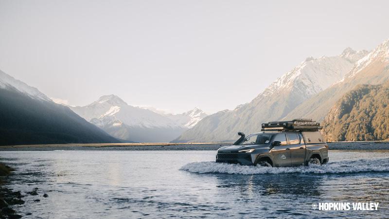
Summer is just around the corner, and the second half of the year has been just as busy as the first. Since my last round-up in June I’ve shipped Android Auto, added a pile of new tracks, and put a lot of work into helping you know what you’re in for before you leave the driveway.
Here’s what’s new.
Android Auto is here (in beta)
This is the one Android folks have been asking about for a long time. Plug your phone in and Overland Navigator shows up on your car’s display.
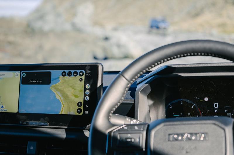
- See the map around you, with nearby tracks listed closest first
- Search for a track and check its grade, rating and length
- Spot steep sections, water crossings and gates along the way
- Tap Directions to hand off to your car’s navigation for the drive to the start
It’s a beta - in other words, it’s out there being tested by real people in real vehicles - so I’d love to hear how it goes in yours. Android Auto is included with Navigator All Access.
Get set up with Android Auto →
Over 1,800 km of new tracks
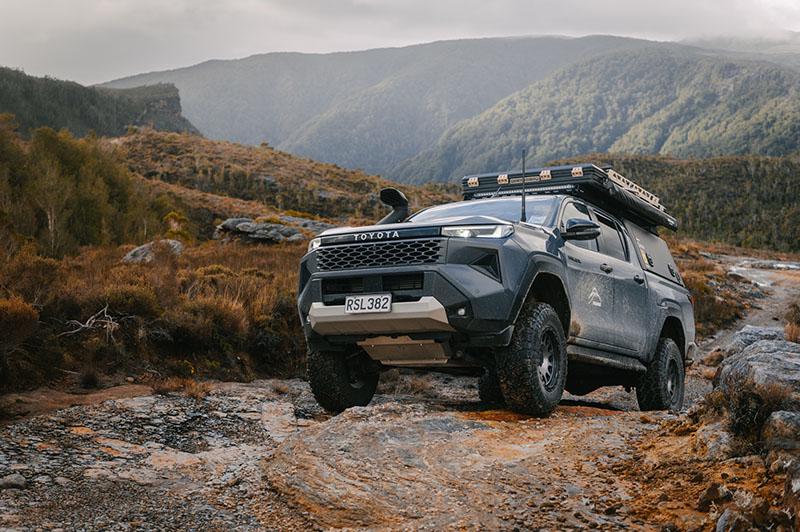
If you’ve opened the app recently, you’ve probably noticed the map is looking a lot busier. I’ve added over 1,800 km of new tracks right across the country, which means there are now more than 8,900 km of drives waiting to be explored.
I gave the whole library a proper tidy-up while I was at it:
- More honest grades - the difficulty you see is a better reflection of what you’re actually in for, with individual sections graded where possible.
- Higher resolution track lines - so you can see the detail more clearly.
- More accurate drive times - so you know if it’s a quick detour or a full day.
- Better descriptions - a clearer idea of what to expect before you commit to a day out.
Have a nosey at the track library →
Steep sections, water crossings and gates on the map
The grade tells you how hard a track is overall. Now the map shows you where the hard bits are.
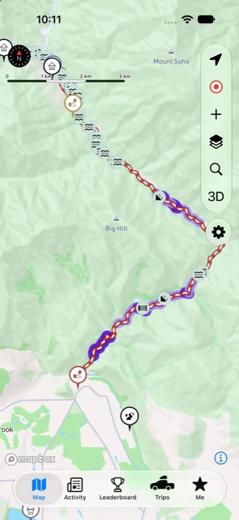
Turn on the markers layer and you’ll see steep sections, water crossings and gates marked along the track - handy for working out whether the tricky part is right at the start or 20 km in. If you know of a crossing or gate that’s missing, you can report it straight from the app and I’ll get it added.
Route status: what’s closed, all in one place
Back in June I added open and closed tracks to the map. That’s great when you’re looking at one area, but not much help when you just want to know what’s shut right now.
So there’s now a Route status list in the Activity tab, showing every track that’s closed or has an alert against it. Alerts from DOC are pulled in automatically too, so the list keeps itself up to date. You don’t even need the app - it’s on the website as well.
Tick off where you’ve been
You can now tick off the tracks you’ve driven and the campsites you’ve stayed at. Ticked spots stand out on the map, so it’s easy to see where you’ve been - and what’s still on the list.
After you tick something off, the app will ask if you want to leave a quick review. Please do - it’s hands down the most useful thing you can do for the next person heading that way.
Directions that go off-road
You can now get directions to a track or campsite that carry on past the end of the seal. If the way there crosses a track that’s currently closed, the app flags that leg so you’re not caught out.
On iPhone, CarPlay got the same treatment - routed directions on the big screen, on top of the HUD panel and route recording from earlier in the year. Both are included with Navigator All Access.
A few smaller things
- Labels on satellite maps - place names and labels now show on satellite, online and offline.
- A redesigned tide graph - much easier to read at a glance when you’re planning a beach run.
- Campfires and dogs - a new Campfires layer, and a single “Dogs allowed” filter for campsites.
- A fresh look on Android - the map controls and bottom navigation have had a tidy-up.
- A side panel on iPad - track and campsite details now sit beside the map rather than over it.
Give a year of adventures 🎁
Just in time for Christmas, you can now gift a year of Navigator All Access. It’s paid for once, doesn’t renew, and the year starts when they redeem it - not when you buy it.
That’s the headline stuff. As always, thanks for the reviews, photos and submissions that make the app what it is - and if you run into anything, get in touch and I’ll get it sorted.
Catch you on the tracks. 🚙💨
Download Overland Navigator and start exploring for free today.
With over 8,500kms of offroad routes all over New Zealand, planning your next offroad adventure has never been easier.